Transportation in Clifton, Virginia
Discover all the ways to get around Clifton, Virginia with our comprehensive transportation guide. Whether you're a resident or visitor, find the best options for your journey.
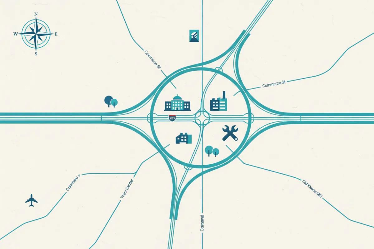
Major Highways in Clifton
I-95
Runs north-south through Clifton, connecting to Washington, DC and Richmond. Key for commuters and long-distance travel.
I-495
Known as the Capital Beltway, this loop encircles the DC metro area and provides access to regional destinations.
I-395
Links Clifton to downtown DC, offering a direct route for commuters and visitors heading into the city.
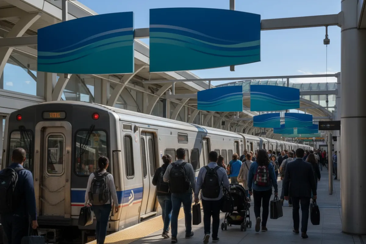
Metro & VRE: Rail Options
Convenient Rail Connections to DC
- Vienna/Fairfax-GMU (Orange Line) — nearest Metro commonly used by Clifton residents.
- West Falls Church (Orange Line) — alternate Metro option.
- Burke Centre (VRE Manassas Line) — nearest VRE station with park-and-ride for Clifton commuters.
- Manassas (VRE Manassas Line) — alternative VRE stop for western Clifton residents.
Both Metro and VRE provide commuter connections into Washington, D.C. Burke Centre offers a convenient park-and-ride for Clifton residents; Vienna/Fairfax-GMU is the most commonly used Metro station. Check schedules and parking availability before you travel.
Nearby Airports
Dulles & Reagan National
- Dulles International (IAD): ~18 miles — about 25 minutes by car
- Ronald Reagan Washington National (DCA): ~28 miles — about 40–45 minutes by car (depends on traffic)
- Baltimore/Washington Thurgood Marshall (BWI): ~60 miles — about 1–1.25 hours by car
Dulles (IAD), Reagan National (DCA), and BWI are the primary airports serving Clifton, VA; approximate distances and drive times from Clifton are listed above. Travel times vary with traffic.

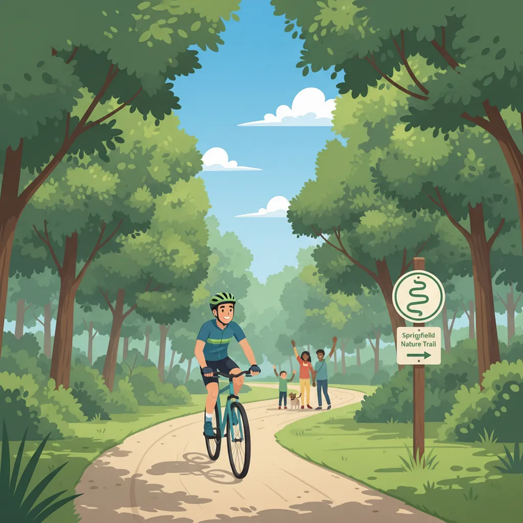
Bike & Trail Access Near Clifton, VA
- Fairfax County Parkway Trail — scenic, paved multi‑use trail with connectors into Clifton neighborhoods
- Bull Run Regional Park — mixed‑surface trails with multiple access points for family rides and mountain biking
- Occoquan Reservoir & Fountainhead Regional Park — waterfront and forest trails with varied terrain and views
- On‑road bike lanes & recommended routes — Clifton Road and Old Keene Mill/Route 28 connectors to trailheads
- Safe parking & park‑and‑ride — designated lots at park trailheads and nearby commuter lots
- Local bike shops & repair resources — nearby Fairfax/Falls Church shops for tune‑ups and quick fixes
Trail difficulty ranges from easy paved paths to mixed surfaces and moderate singletrack. Practice trail etiquette: yield to pedestrians, announce passes, ride single file on narrow sections, and pack water. Expect seasonal mud or icy patches; check park websites before heading out and carry basic repair supplies or visit a local shop for service.
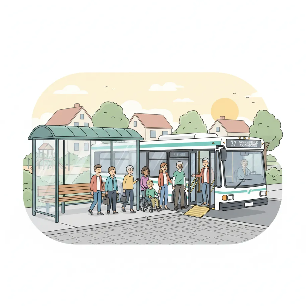
Bus Systems Serving Clifton
- Fairfax Connector
- Metrobus
- Virginia Railway Express (VRE)
- Regional commuter and express bus services
- Nearby transfer hubs include major Metro stations and commuter rail transfer points
Local transit providers link Clifton with neighboring communities and regional networks, offering both local and commuter services. These connections provide access to major Metro stations and commuter rail for commuting into Washington, DC. Visitors should check provider websites for the latest schedules, fares, and service alerts before traveling.
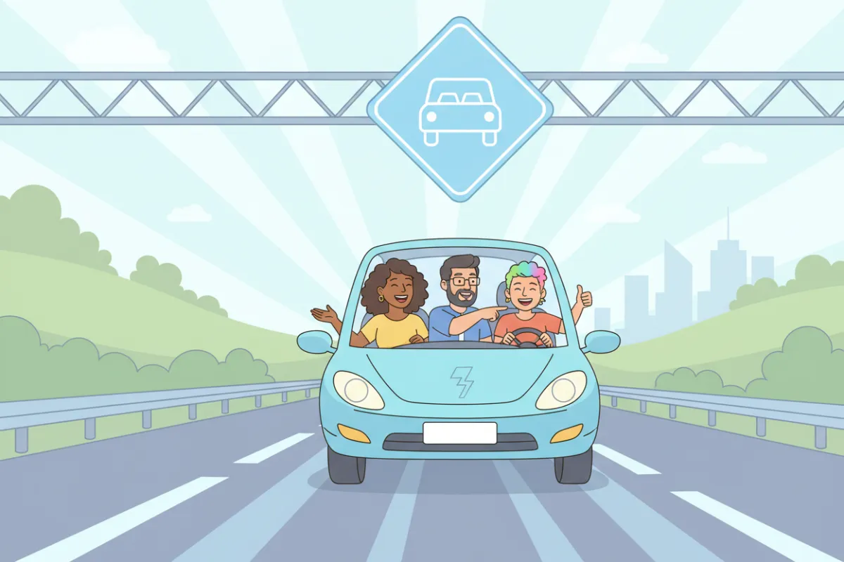
Carpooling & HOV Lanes
- HOV lanes on I-95 and I-395 for faster commutes
- Carpool matching services and local vanpools
- Park-and-ride lots for easy group travel
Save time and reduce congestion by sharing rides. Explore carpooling options and take advantage of HOV lanes for a smoother Burke commute.
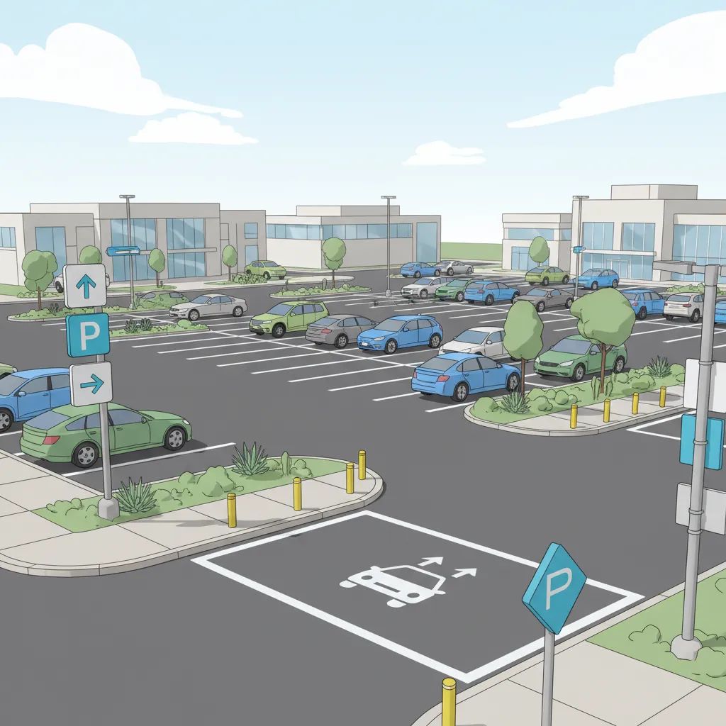
Parking & Rideshare
- Public parking garages and lots near transit hubs
- Designated rideshare pickup and drop-off zones
- Accessible parking for all users
Find convenient parking options and rideshare services throughout Springfield. Look for posted signs and use mobile apps for real-time availability and directions.
Your Clifton, Virginia Transportation Summary
Clifton, Virginia offers a wide range of transportation options for residents and visitors. From highways and rail to biking and rideshare, you can choose the best way to get around. Stay informed, plan ahead, and enjoy your journey in Burke.
Check out our other local resource sites!